
Plano Neighbors Through Public Block Records
Public sources answer narrow questions about Plano neighbors. CCAD GIS supplies parcel geometry and subdivision context. The CCAD property search supplies the public appraisal record for one selected parcel. The County Clerk index supplies plats and recorded instruments. A voter file is more restricted than those sources: the public individual lookup requires a person-level query, while the paid Collin file has statutory use limits. Historic address sections can add names for a particular year. A postal ZIP result validates delivery geography, not a person at the address.
| Block source | What it shows near an address | Access route |
|---|---|---|
| CCAD GIS | Parcel polygons, subdivision context, adjacent lots, and city-line context | Free interactive viewer; controls vary |
| CCAD property search | Appraised owner, parcel identifiers, situs and mailing fields, legal description | Free owner and address search |
| County Clerk plats and deeds | Lot, block, subdivision, easements, parties, and recorded instruments | Online index plus copy, mail, and counter channels |
| Collin voter-file route | Registered or mailing address, status, districts, and history for lawful file users | Paid county request with Election Code restrictions |
| Historical directories | Printed occupants or businesses at nearby numbered addresses by year | Haggard, CCGS, UNT, and TSLAC channels |
An appraised owner is not the same thing as every occupant. A mailing field may lead outside Plano or to a business, trust, agent, or post-office box. Start with what each custodian actually records.
Plano Parcels Define a Neighbor Block
The CCAD Interactive Map is the geographic starting point. Locate an address, select its parcel, and note the property or geographic ID, subdivision, lot and block, and legal description. Then select parcels that share a boundary, sit across the street, or meet the same alley or access way. A corner parcel can front a different street. A common subdivision does not prove a common owner or an association connection.
Plano's public municipal-boundary service can help distinguish the incorporated-city polygon from postal geography. It identifies the boundary feature, not parcel owners. Use it with the appraisal record, not as a name export. The research did not safely capture every current map-control label, so a live map session remains the place to confirm available identify, select, measure, or layer tools.
- Adjacent parcel
- A parcel sharing a lot line, access edge, or directly opposite relationship with the subject parcel.
- Subdivision
- A recorded land division that can organize lots and blocks but does not identify every resident.
- Plat
- A recorded map showing a subdivision's lots, blocks, easements, or streets.
- Situs address
- The physical location used to find a parcel, distinct from a mailing address.
Map a Plano Block One Parcel at a Time
A careful neighbor lookup is a small, repeatable parcel walk. It begins with an address and produces a list of public parcel references, not a claim about every household. Save the source date, because appraisal and map information can change. When a boundary looks unclear, the legal description and recorded plat are stronger evidence than visual distance.
- Open the CCAD map, find the subject address, and save the selected parcel's address, property ID, subdivision, and legal description.
- Select each directly adjoining or opposite parcel, including any lot separated by an alley or common tract, and record its displayed parcel reference.
- Open each record in CCAD Property Search to see the public appraisal owner and address fields.
- Use the County Clerk index to compare the lot, block, plat, or deed when the map and address forms disagree.
- For a complete named-street chain rather than an immediate block, use the Plano street directory lookup method.
CCAD says its property search updates nightly. The field is still appraisal evidence, not a current household roster. A homestead indication may be a property-tax clue, but it cannot establish every person present at a parcel.
Note: Keep the parcel ID and legal description with each map selection, because addresses alone can change form across deeds, plats, and directories.
Plano Neighbor Searches and Voter Rules
Texas My Voter Portal is built for a person-level status lookup with name, county, date of birth, and ZIP information. It is not a public browse-by-street tool. Collin County's purchased voter file can include county or state ID, registered address, mailing address, districts, registration dates, active or suspense status, and participation history. It does not show phone numbers, email addresses, or how a person voted.
Texas Election Code provisions protect sensitive registration information and address-confidentiality participants. The county also warns against uses that violate the voter-list rules. A public-information request can seek existing records, but it does not require the county to assemble a custom street roster. Use VoteTexas guidance for the narrow lookup route and Collin County's Election Store for the documented file-request path.
Plano Neighborhood Contacts Are Not Rosters
Plano's Neighborhood Services program provides registered-neighborhood outreach, grants, property-standard education, and public contact routes. The Texas HOA Management Certificate Search can identify an association's legal name, county, city, ZIP, type, and certificate PDF. Neither source publishes a reliable member directory. A management certificate can provide a legal paper trail, such as a declaration or recorded instrument, but it does not identify everyone who lives in an association.
Plano Neighborhood Services
Registered-neighborhood resources, outreach, grants, and public contacts.
Texas HOA Certificates
Search by association name, Collin County, Plano, ZIP, or association type.
Plano Neighbors Helping Neighbors
Public civic-volunteer contact layer, not a participant list.
The research identified examples across Plano ZIP areas, including 15th Street Village Townhome HOA, Timber Brook West HOA, Willow Crest HOA, Plantation Resort HOA, and Woodlands of Plano HOA. Those examples demonstrate an association filing path, not a way to identify residents.
Plano Neighbor Records Compared
Official records and commercial neighbor-search categories answer different questions. The official source is the control when an address, parcel, legal description, or association filing matters. Commercial results may combine old directories, parcel data, voter data, and broker data. They can be stale, incomplete, or assigned to the wrong person.
| Official record route | Commercial neighbor-search category |
|---|---|
| Names the custodian, source date, parcel or instrument reference, and known access limit. | May merge several datasets without showing the underlying custodian or update timing. |
| Lets a reader compare a parcel, plat, or Clerk instrument directly. | Can be a starting hint, but requires verification against the official record. |
| Preserves protected-voter and private-roster boundaries. | May overstate a match or attach old data to a current address. |
Plano Neighbors Cross Postal Boundaries
Neighbor questions can cross a city line even when an address uses Plano as its postal city. ZIP code geography is not the incorporated-city boundary. The county's official ZIP map is illustrative and not intended for a boundary dispute. The shared 75097 Plano and Weston postal geography is the clearest local example. Confirm the postal assignment with USPS and compare the exact parcel to the city boundary layer.
The distinction matters on a block edge. A ZIP result confirms postal delivery information, while the municipal-boundary layer confirms whether a location falls within the city polygon. CCAD then supplies the parcel and appraisal context. Each tool describes a different geography.
Plano Neighbors in Earlier Address Books
For a past block, use the numerical or address section of a historical city directory and compare nearby numbers. Verified Plano sources include the 1948 directory, Polk's 1974 volume, and a 1976 address-page sample at UNT. The 1976 OCR includes personal and business entries together, so read the scan before treating a line as a person. A directory offers a period clue, not a modern neighborhood roll.
Old street forms need care. Historic Plano references connect Main with K Avenue and Mechanic with 15th Street. The CCGS partner collection at UNT, Haggard Genealogy Center, and the State Library guide provide the research channels when one digitized issue does not answer the date in question.
Plano Neighborhood Services Contact Layer
The City of Plano Neighborhood Services page is a public route for registered-neighborhood resources and outreach.
This city resource supports contact and civic participation research without representing a private neighborhood roster as public information.
Plano Neighbors Civic Volunteer Route
The Plano Neighbors Helping Neighbors listing is a civic contact layer with a public program page.
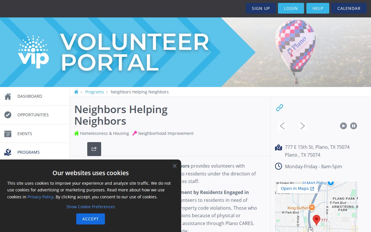
It identifies a public program route, not the people who participate or live near a specific address.
Plano Neighbors Have Privacy Limits
No public block method identifies every person around an address. Private household details, protected voters, address-confidentiality participants, sealed records, victim information, utility customers, delivery customers, and private association lists do not become public because a parcel appears on a map. A historic directory can also contain an old business, a former resident, or a name that OCR read incorrectly.
Use a source trail instead of a broad claim: a selected CCAD parcel, its legal description, a cited Clerk instrument, a directory issue, or a public community contact. That leaves room for the limits in every record and gives Plano neighbors the privacy those limits protect.